
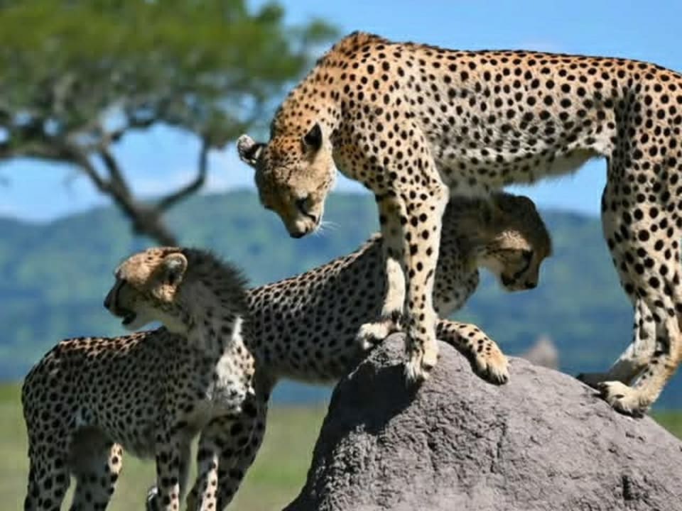
Serengeti National Park
The Serengeti is the wide grassland most people picture when they say safari. The useful question is not whether to go, but which part of it matches your dates.
Region: Northern Tanzania
Managed by: TANAPA
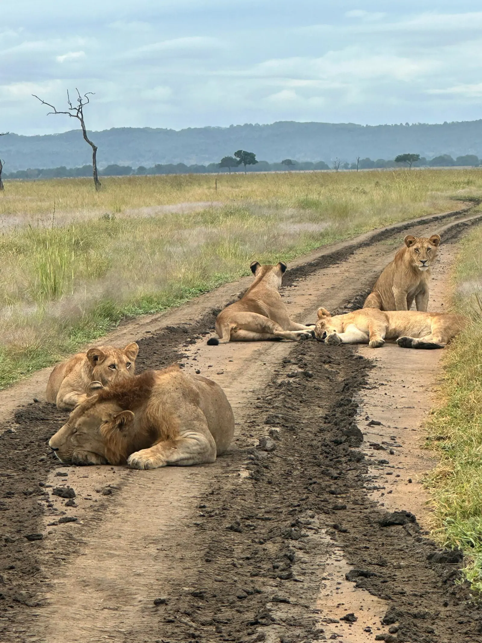
Tanzania
Parks, the crater, the coast and the mountain. Read the place, then open a package.
This is the map. Each region below says what kind of trip it is, then the cards open one place at a time. A card is a guide: where it sits, what a day there is like, and which of our packages spend time there. It is not a booking form, and it is not a price list.
Read the north if you are flying into Arusha. Read the south if you are flying into Dar es Salaam. Read the coast when a beach is the second half of the holiday, and the mountains when a climb is the first half. The west is here because people ask about chimpanzees. Those guides are real. A packaged itinerary for them is not, until we publish one.
The comparison table is the short version of the same choice: how you get there, and what the days are for. Drive times are approximate. They change with the road, the stops and the season. Park fees are not in the table. The authorities change them, and the quote is where they belong.
One row per place. The link opens the guide. The other two cells say how a trip usually reaches it, and what the days are for.
| Place | How you get there | What the days are for |
|---|---|---|
| Serengeti | A long drive from Arusha, or a short flight | Multi-night stay. The month picks the area. |
| Ngorongoro Crater | From Arusha, with the night before in Karatu or on the rim | A daytime descent. The night is above the floor. |
| Tarangire | Two to three hours from Arusha | River, baobabs and elephants. Often one day on a longer circuit. |
| Lake Manyara | About two hours from Arusha | Forest and the lake shore. Often a day, then a night at Karatu. |
| Mkomazi | A day from Moshi | A national park since 2008. A rhino sanctuary visit is arranged ahead, and it is never a promise. |
| Arusha National Park | About an hour from Arusha | Lakes, forest and a view of Meru. A day from town. |
| Lake Natron | Four to five hours on a rough road | The soda lake and a remote camp. Two days, because of the road. |
| Lake Eyasi | A day from the Karatu side | Cultural visits. Day trips, rather than a park package. |
| Mikumi | Road from Dar es Salaam, about half a day | The Mkata floodplain. The short southern safari. |
| Ruaha | Usually a flight from Dar es Salaam | The Great Ruaha River and long quiet drives. |
| Nyerere | Usually a flight from Dar es Salaam | The Rufiji, a boat, and walks when the quote includes them. |
| Kilimanjaro | From Moshi | A climb, on its own route pages. Joined to a safari only as a separate part. |
| Zanzibar | A flight after the last safari day | The coast. Stone Town is the usual first stop. The island has its own page too. |
The northern circuit is the set of parks people fly into Kilimanjaro or Arusha to see. Serengeti, Ngorongoro, Tarangire and Lake Manyara are the names that usually share a week. Arusha National Park and Lake Natron sit on the same side of the country and suit a short add-on. Mkomazi is the park near Moshi, and it is used as a day from town. Lake Eyasi, on the Karatu side, is a cultural day rather than a game-drive park.
A northern safari meets the vehicle in Arusha. The drives between Tarangire, Manyara and the crater are a few hours. The Serengeti is the long one: a full day by road from the crater highlands, or a short flight. That is why a three-day northern safari stays on the nearer parks, and a week is what gives the Serengeti its own nights. Open a card for the place. Open a safari package when you want the days in order.
The Serengeti is the wide grassland most people picture when they say safari. The useful question is not whether to go, but which part of it matches your dates.
Region: Northern Tanzania
Managed by: TANAPA
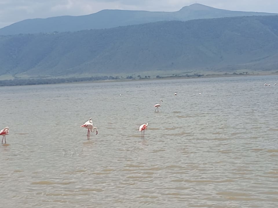
Ngorongoro is a conservation area with people living in it, and a vast volcanic caldera whose floor you visit for the day. It is not a national park you sleep inside.
Kind: Conservation area
Managed by: Ngorongoro Conservation Area Authority
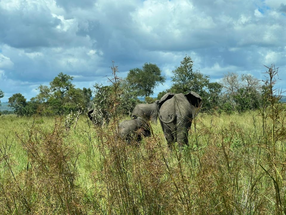
Tarangire is the park of elephants and baobabs, close enough to Arusha to be the first or last stop on a northern safari. In the dry months the river is the whole story.
Region: Northern Tanzania
Managed by: TANAPA
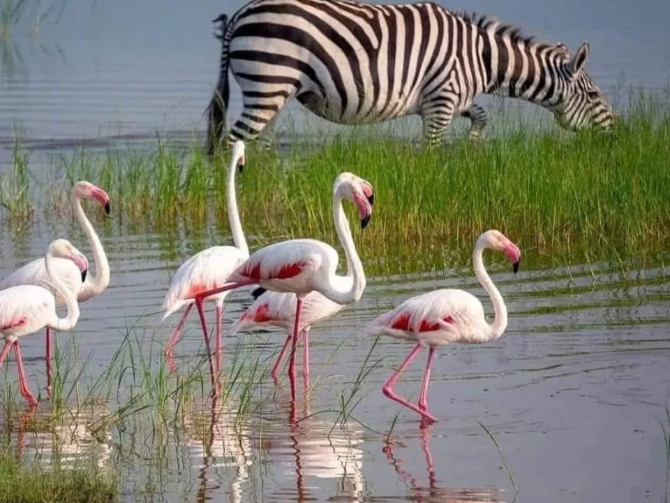
Manyara is a narrow park under the Rift Valley wall: forest, a soda lake, and a lot of birds, usually seen in a single unhurried day.
Region: Northern Tanzania, under the rift wall
Managed by: TANAPA
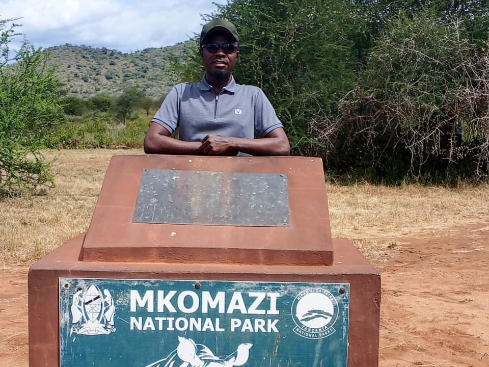
Mkomazi is the quiet park on Moshi's doorstep: semi-arid country against the Kenyan border, with a black rhino sanctuary that is a visit of its own, not a lucky game drive.
Region: Kilimanjaro Region, near Same
Managed by: TANAPA
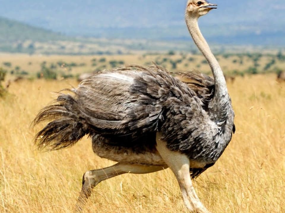
Arusha National Park is the small, varied park between Arusha town and Mount Meru. Most people give it a day. Climbers know it as the way up Meru.
Region: Just east of Arusha town
Managed by: TANAPA

Lake Natron is a harsh, beautiful soda lake at the foot of Ol Doinyo Lengai. It is a journey, not a detour on the way to the crater.
Region: Northern Tanzania, near the Kenyan border
Known for: Soda lake, flamingos, Lengai
Lake Eyasi is a soda lake south of the crater highlands, and the country of the Hadzabe and the Datoga. Come for a meeting, not for a game drive.
Region: South of Karatu and Ngorongoro
Kind: Lake and cultural visits
Olduvai Gorge is where a great deal of early human evidence was found. For most safaris it is a stop of an hour or two on the road between the crater and the Serengeti.
Also spelled: Oldupai, the Maasai name
Where: Ngorongoro Conservation Area
Mikumi, Ruaha and Nyerere are the southern parks, and the meeting point is Dar es Salaam. Mikumi is the one you can reach by road in about half a day, along the highway that also crosses the park. Ruaha and Nyerere are usually a flight. The road is possible and it takes most of a day, so the quote has to choose. Udzungwa is the forested mountain park in the same half of the country. Its guide is here. It is a walking park, and the game-drive packages are Mikumi, Ruaha and Nyerere.
These parks are far apart. A route that joins two of them spends a day on the transfer. The character people come for is space: the Mkata floodplain at Mikumi, the Great Ruaha River, and the Rufiji boats in Nyerere. Nyerere is the northern part of the old Selous, and UNESCO still lists that wider area under the Selous name. Southern packages stay on their own list, because the start city is Dar es Salaam rather than Arusha.
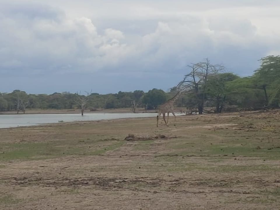
Mikumi is the southern park people can actually reach from Dar es Salaam without a flight. The Mkata floodplain is open grass, which is why it reminds visitors of the Serengeti, at a smaller scale.
Region: Near Morogoro, on the Dar to Iringa road
Managed by: TANAPA
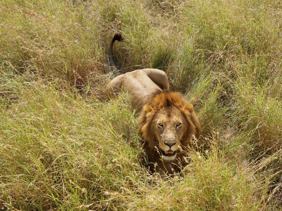
Ruaha is a vast, rugged southern park built around a sand river. It is remote on purpose. Most visitors fly. The ones who drive give it the days the road demands.
Region: Southern Tanzania, west of Iringa
Managed by: TANAPA

Nyerere is the huge park on the Rufiji River, gazetted from the northern Selous. People come for boats, walking, and country that still feels unfinished.
Was: The northern part of the Selous Game Reserve
Managed by: TANAPA
Udzungwa is a rainforest park in the Eastern Arc, visited on foot. The Sanje waterfall trail is the usual day. It is not a substitute for a game drive in Mikumi.
Region: South of Mikumi, Eastern Arc
Managed by: TANAPA
The west is chimpanzee country on Lake Tanganyika, plus the Victoria shore. Gombe is a small park, about 56 square kilometres. Mahale is the larger forest south of it. Reaching either one is a flight and then a boat, and the trip is its own journey. It does not attach to a northern-circuit week the way Tarangire does.
Guides for Gombe, Mahale, Tanganyika and Victoria are on this page so you can read them before you ask. We have not published a multi-day package for those places. If you want them, ask, and we will say whether the dates and the flights can be arranged. We will not invent a day-by-day page for a route we do not run as a set itinerary.
Gombe is a tiny forest park on Lake Tanganyika, famous because Jane Goodall studied chimpanzees here. You come to walk with a guide and spend time with a habituated group. That is the whole park.
Region: Western Tanzania, on Lake Tanganyika
Managed by: TANAPA
Mahale is a remote mountain park on a long beach of Lake Tanganyika. The reason to go is a habituated chimpanzee group, reached on foot, far from any road.
Region: Western Tanzania, Lake Tanganyika
Managed by: TANAPA
Lake Tanganyika is one of the world's great rift lakes: long, deep, and the way you travel once the roads run out. Safari visitors usually meet it at Gombe or Mahale.
Kind: Rift lake, shared with neighbours
On the Tanzania side: Kigoma, Gombe, Mahale and the south shore
Lake Victoria is Africa's largest lake by area. On a Tanzania safari it is usually Mwanza, a flight connection, or a deliberate detour to the shore. It is not a game park.
Kind: Great lake, shared with neighbours
Tanzanian hub: Mwanza
The coast is a different trip from a game drive. Saadani is the mainland park where the beach and the animals meet. Zanzibar, Pemba and Mafia are islands. Stone Town, Nungwi, Paje and Jozani are parts of Zanzibar, and each has a guide here. A safari-and-beach plan usually flies to the island after the last park day, from Arusha or from Dar es Salaam.
The Zanzibar page is the island as a whole. A package that adds a safari and a beach keeps each price separate. We do not publish one invented total. Mafia and Pemba have guides. A set package for those islands is not on the safari list. Read the guide, then ask if you want the days built around it.
Saadani is the national park where a game drive can end on a beach. It is a quiet coast park north of Dar es Salaam, not a second Serengeti with sand.
Region: Indian Ocean coast, north of Bagamoyo
Managed by: TANAPA
Mafia is the quiet island south of Zanzibar, with a marine park, straightforward diving, and whale sharks in the season. It is not a party beach.
Region: Indian Ocean, south of Dar es Salaam
Known for: Mafia Island Marine Park, whale sharks in season
Pemba is the hillier, greener island north of Zanzibar. People come for diving and for the quiet. They do not come for a long beach holiday in the Nungwi style.
Region: Zanzibar archipelago, north of Unguja
Known for: Wall diving, clove farms, forest
Stone Town is the old city of Zanzibar, a UNESCO World Heritage site of coral-stone houses, carved doors and a working harbour. Give it at least a night. Two is better.
Where: West coast of Unguja, Zanzibar
UNESCO: World Heritage, as the Stone Town of Zanzibar
Nungwi is the north-coast beach with sand at most tides and a busier village behind it. Come for swimming and sunsets. Go east if you wanted empty and windy.
Where: North coast of Unguja
Known for: Sunset, swimming, a livelier village
Paje is a village on a long tidal lagoon. At high tide you swim. At low tide you walk to the reef. In the windy months it is a kitesurfing beach.
Where: South-east coast of Unguja
Known for: Lagoon, kites, a low-key village
Jozani is Zanzibar's forest park, and the reliable place to see the Zanzibar red colobus. It is a morning, not a day, and it is worth doing once.
Where: South-central Unguja
Kind: Forest national park
Kilimanjaro and Mount Meru are climbs, planned from Moshi, with their own route pages. The day walks, Materuni and Chemka among them, are days out of town. People often ask to put a climb and a northern safari in one holiday. The order matters. The climb is from Moshi, the safari meets you in Arusha, and a rest day between them is part of the plan.
The mountain cards open the destination guides: where the mountain sits, and how it fits a wider trip. The routes, the days and the altitude notes live on the Kilimanjaro pages. This page is the map of places. The climb itinerary is the other one.
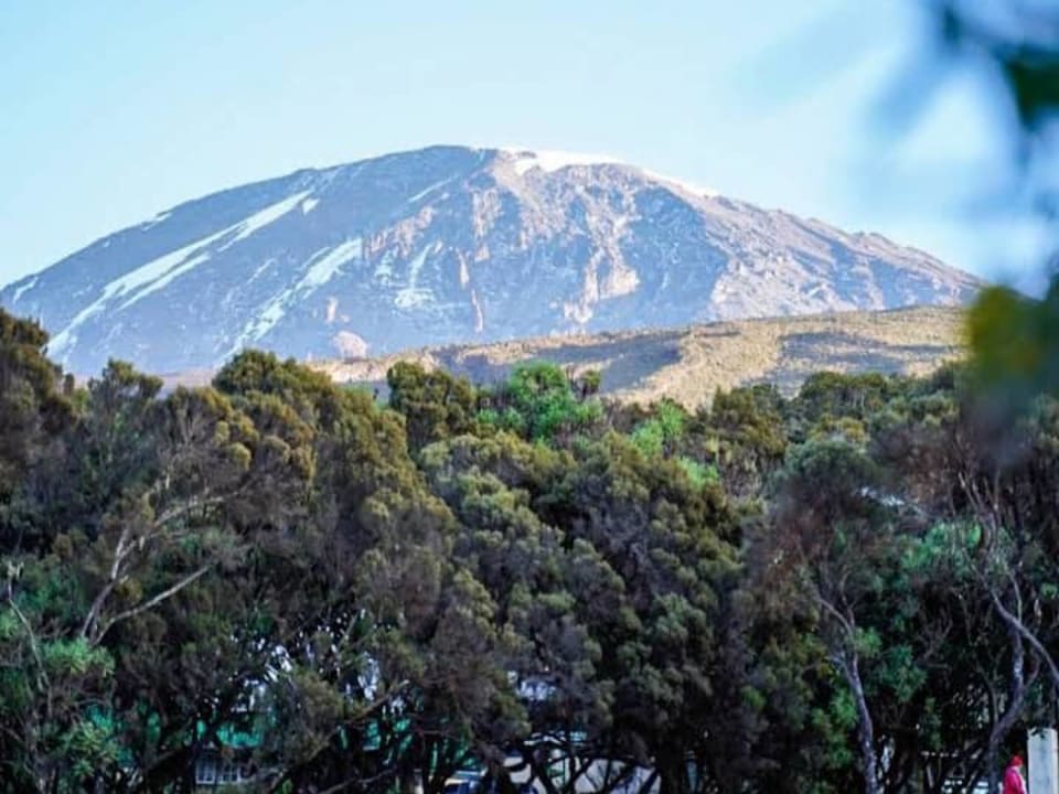
Kilimanjaro National Park is the mountain and the forest around it. If you are choosing a route, a number of days or a package, start on the Kilimanjaro guide. This page is the park itself, and the trips that climb it.
Summit: Uhuru Peak, 5,895 m
Managed by: TANAPA, as Kilimanjaro National Park
Mount Meru is the 4,566-metre volcano in Arusha National Park. It is a proper climb, with a ranger, and a useful acclimatisation walk before Kilimanjaro.
Height: 4,566 m, Socialist Peak
Where: Arusha National Park
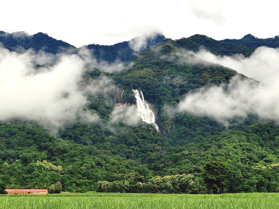
The Usambaras are cool, green highlands near Lushoto, part of the Eastern Arc. People come to walk between villages and look back at the plains. It is hiking, not a safari.
Region: North-east Tanzania, Tanga side
Hub: Lushoto
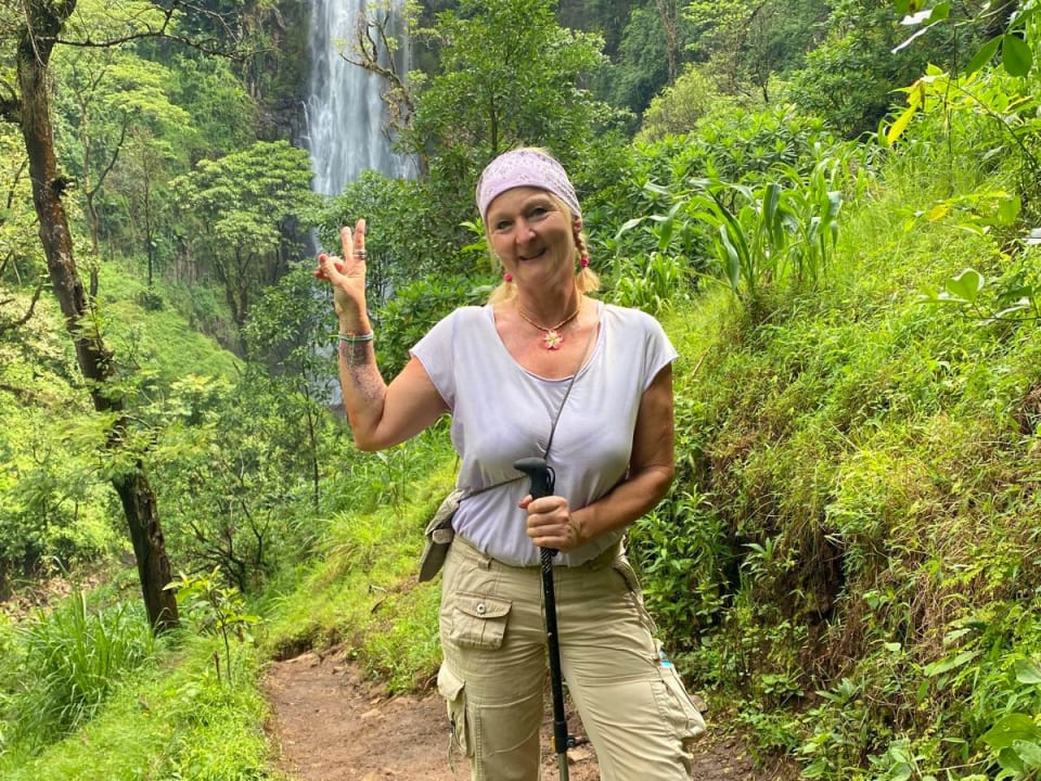
Materuni is the day walk from Moshi: through a Chagga village, down to a waterfall, and back via a cup of coffee that you watched being made. It is not inside the Kilimanjaro park gate.
Where: South-east slopes of Kilimanjaro, near Moshi
Kind: Village walk and waterfall
Chemka is a clear, cold-looking pool of warm spring water under the trees, near Moshi. People come to swim and lie in the shade. That is the entire plan, and it is a good one.
Also called: Kikuletwa hot springs
Where: Between Moshi and Arusha, off the highway
Four pages that take a destination and turn it into a plan. Each one explains itself.