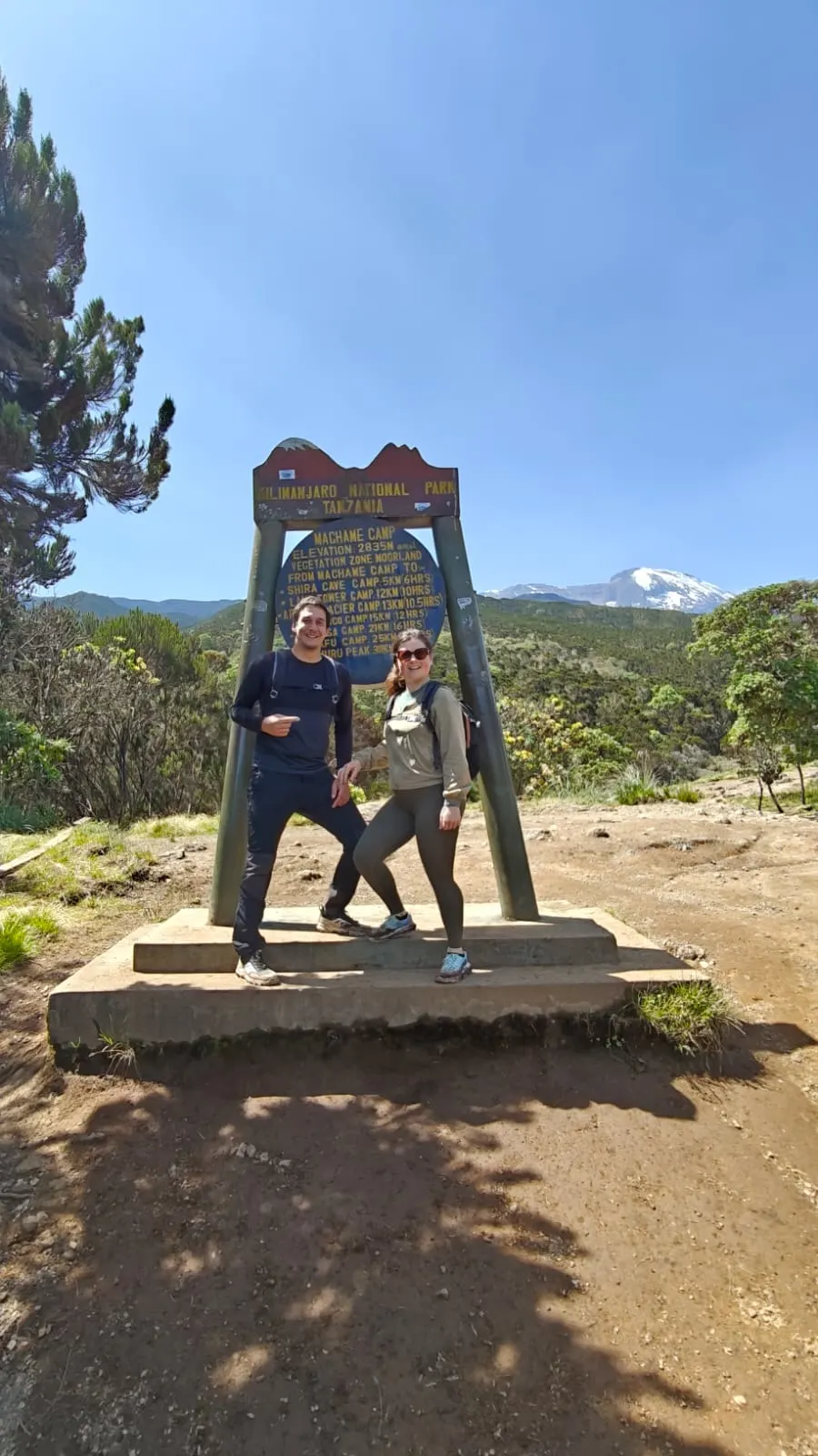
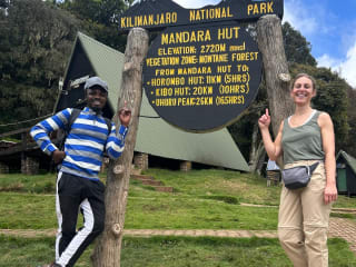
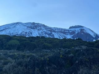
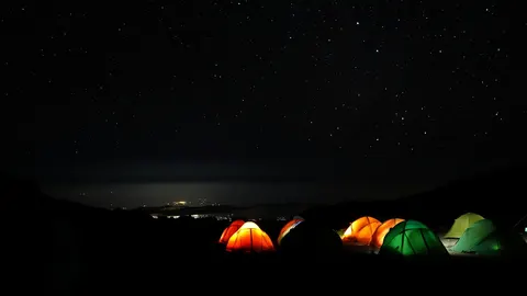
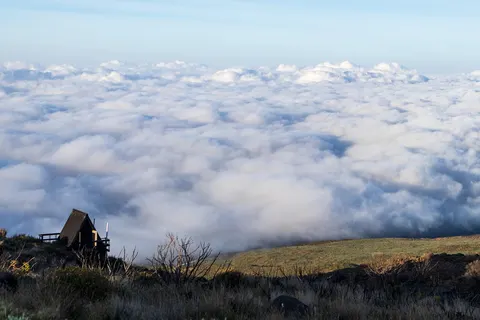
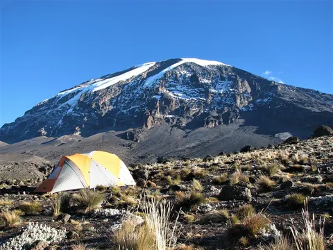
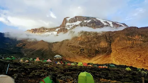
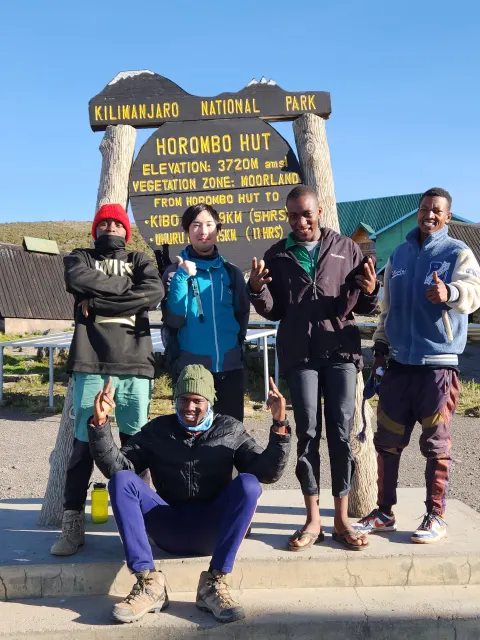
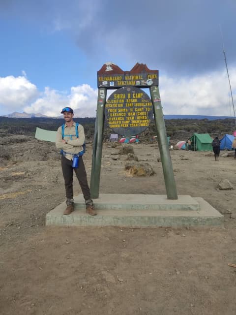
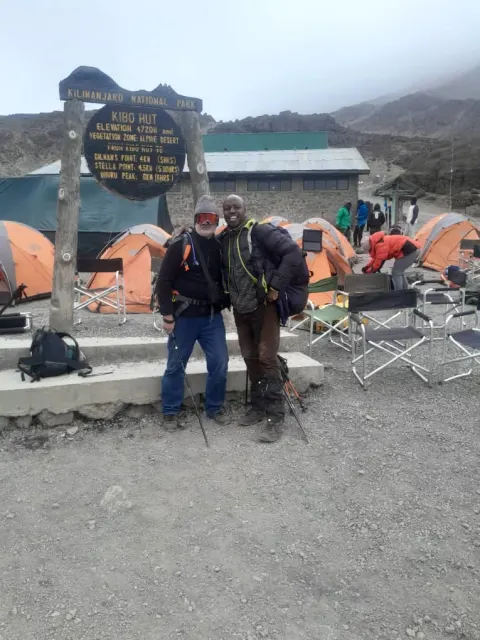
Rainforest, the Shira plateau, Lava Tower and the Barranco Wall.
Machame is the climb most people picture when they think of Kilimanjaro: forest, a long moorland day, a wall you scramble up with your hands, and a midnight start on the south face. Here is what it is actually like, and who should pick something else.
Days
6 or 7 on the mountain
Sleeping
Tents
Starts
Machame Gate, south-west
Finishes
Mweka Gate
Highest sleep
Barafu, about 4,600 m
Crowds
Busy in the dry months
What Machame is
Machame goes up the south-west side of the mountain and comes down the south. It is a camping route, so every night is in a tent that the crew pitches before you arrive. Nothing is permanent on the trail except the toilets and the ranger posts.
People call it the Whiskey route, as a joke against Marangu's Coca-Cola name. It is the most walked camping route on Kilimanjaro, and that tells you something: it is varied, it is not extreme, and the schedule works for a lot of different people. It is also the route where we see the biggest gap between people who prepared and people who did not.
A word on numbers. Park pages, guidebooks and operators all quote slightly different heights for the same camp, often 100 m apart. We give rounded figures here. Your guide's altimeter will not match ours to the metre either, and that is fine.
Machame route itinerary, day by day
Gate to Machame Camp. You drive from Moshi to Machame Gate, sign in with the rangers, and walk up through rainforest. The track is wide but muddy, and it is the one day when you will be warm and slightly damp. Expect five to seven hours at an easy pace. The camp sits at roughly 3,000 m, so you may feel a light headache that evening. That is normal. Drink water and go to bed.
Machame Camp to Shira. The forest ends and you come out onto heather and giant groundsel. It is steeper than day one, but shorter. Shira camp is on the plateau at about 3,800 m, open and cold, and on a clear evening the Western Breach looks close enough to touch.
Shira to Lava Tower to Barranco. This is the day that matters. You walk up to Lava Tower, about 4,600 m, have lunch, and then drop to Barranco at about 3,950 m for the night. Climbing high and sleeping low is the nearest thing to a free acclimatisation tool on the mountain. Some people get a headache at the tower. If you do, tell your guide straight away; do not wait for camp.
Barranco Wall and on to Karanga or Barafu. First thing in the morning, the Barranco Wall: a rocky scramble of an hour or two, using hands in a few places. It looks worse from below. After that the trail rolls across valleys to Karanga (about 4,000 m). On the six-day schedule you carry on to Barafu in the same day; on seven days you sleep at Karanga and go to Barafu the next morning. The seven-day version is easier on the body.
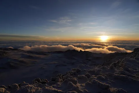
Barafu to the summit and down to Mweka. You leave around midnight, in the dark, in the cold, up a steep path of loose stones. Stella Point on the crater rim is at about 5,685 m and the highest point, Uhuru Peak, is another stretch along the rim. Sunrise tends to catch you near the top. After a short stay you come all the way down, past Barafu, to sleep at Mweka Camp. It is a very long day, often ten to fourteen hours in all.
Mweka Camp to Mweka Gate. A few hours down through forest, with sore knees. Poles help here more than anywhere. Then lunch and the drive back to Moshi.
6-day Machame route schedule
The standard six-day schedule, with the Barranco to Barafu leg done in one longer day.
Day 15 to 7 h
Machame Gate to Machame Camp
2,980 m · montane rainforest
Day 24 to 6 h
Machame Camp to Shira Camp
3,840 m · montane rainforest to heath and moorland
Day 36 to 7 h
Shira Camp to Barranco Camp
3,950 m · heath and moorland to alpine desert
Day 46 to 8 h
Barranco Camp to Barafu Camp
4,670 m · heath and moorland to alpine desert
Day 512 to 15 h
Barafu Camp to Mweka Camp
3,100 m · alpine desert to arctic summit zone to heath and moorland
Day 63 to 4 h
Mweka Camp to Mweka Gate
1,640 m · heath and moorland to farmland and forest edge
Altitudes and walking times are rounded and vary with season and group. The package you book sets the exact schedule.
Machame route map in 3D
Want to look at the shape of the route before you decide? The map below loads only when you press it, so it does not slow the page. It shows the camps and gate on the real terrain.
Machame is not technical. You do not need ropes or crampons. What makes it hard is altitude and the long summit night, not the terrain. We rate it a solid three out of five for a fit walker, and the seven-day version a bit lower than the six-day version because the body gets one more night to adapt.
The wall is the thing people worry about, and it is rarely the problem. The problem is usually day five or six: tired legs, cold, thin air, and the loose scree between Barafu and Stella Point where you slide back half a step for every step forward. Walk slowly. Slower than feels natural.
Quick take
Good: more variety than any other route in a single trip: forest, moor, rock desert, scree and ice
Good: the Lava Tower day helps most people adjust
Hard: it is busy between July and October and January and February, and camps get crowded
Hard: Shira and Barafu are cold at night; bring a proper sleeping bag
Hard: there is no water at Barafu, so guides carry it up from Karanga
Six days or seven?
If you can take the extra day, take it. The seven-day version spends one more night at Karanga, which breaks up the long Barranco to Barafu stretch and gives your body more time at 4,000 m before the summit push. Six days is possible for people who are very fit or who have recently been at altitude, and for people with a tight diary. We would rather you were comfortable than rushed.
What you pay depends on the number of days, the group size and the comfort level. The packages below show their own starting price per person from our live price list, and the cost page explains what moves it. Park fees are a large fixed part of any climb, which is why the cheapest quote is not always the best value.
It suits first-time climbers who are healthy and have trained, people who like to see a lot of different landscapes, and groups of friends of mixed fitness who still want a proper walk. It is also a good choice if you want to camp but do not want the long drive that Lemosho and the Northern Circuit need on day one.
It is a poor fit if you hate crowds, hate tents, or have a very short window. If crowds are the issue, look at Lemosho or the Northern Circuit. If tents are the issue, look at Marangu.
Best time to climb the Machame route
The two dry windows are roughly June to October and late December to early March. April and May are the long rains and most of November is the short rains; trails turn to mud and the summit can be icy. You can still climb in those months, and some people prefer the quiet, but you need more waterproofs and more patience. See the best time to climb for the month by month detail.
Full moon helps. A summit night under a full moon is easier to walk, and you can see where you are going. The dates move every year, so check when you book.
What to bring that people forget
The main kit list is in packing for Kilimanjaro. For Machame in particular: a waterproof shell that fits over your warm layers, a warm hat that covers your ears, liner and outer gloves, and a head torch with spare batteries because summit night is in the dark. Trekking poles are not compulsory but make the descent far kinder. Gaiters keep the scree out of your boots.
Test your boots before you come. Blisters on day three are the most common reason we see people suffer for no reason.
Questions people ask
It is the most popular choice, and a sensible one if you are fit and take seven days. Lemosho is better if you want fewer people and a gentler start, Marangu if you want a bed.
Most groups start around midnight and reach Stella Point at sunrise, five to eight hours later. The full day, including the walk down to Mweka Camp, usually runs ten to fourteen hours.
A few steps need hands, but it is a scramble, not a technical climb. Guides and porters go ahead and help with footing. If you are afraid of heights, tell your guide before the morning.
There are streams at several camps, which the crew treat or boil. There is no source at Barafu, so water is carried up from Karanga. Bring a way to keep your bottles from freezing.
Because it works. It is varied, the schedule is flexible and the cost is reasonable. If you hate queues on the Barranco Wall, climb in a shoulder month or choose a quieter route.
Yes, with good rain gear and low expectations of the views. The lower forest is slippery and the top can hold snow. It is quieter, though.
Six days works best on Machame, Rongai or a six-day Marangu, if you are fit and have recent altitude experience. If you can find a seventh day, Machame or Lemosho gives your body a much easier ride. See six days or seven.
Many people reach the top in their forties, fifties and sixties, and plenty are not athletes. What decides it is time and preparation, not youth: choose a long route (seven or eight days), train with hills and long loaded walks for at least two or three months, and walk slowly on the mountain. If you have a heart, lung or blood-pressure condition, see your doctor before you book.
It helps. Around a full moon the trail is visible without a head torch for much of the climb, and it feels less lonely and less cold. It also means more people choose those dates, so book earlier. Check the moon calendar for your month; you can still summit on a dark night with a good head torch.
Tips are a normal and important part of crew income. Guides, cooks and porters are tipped in a pooled way at the end of the climb, in local or US currency, with the group present. Ask your operator for their written tipping guideline before you go, so you can budget; see our tipping guide.
Acetazolamide is a prescription drug that some doctors recommend for altitude. It does not replace a slow ascent. Talk to your own doctor well before the trip, try it at home first if they prescribe it, and tell your guide you are taking it.
At the high camps and on summit night it is usually below freezing, and wind makes it feel colder. Layers matter more than one thick coat: a base layer, fleece, insulated jacket, a waterproof shell, warm hat, gloves and a sleeping bag rated well below zero. See packing for Kilimanjaro.
Camps have basic long-drop toilets and many groups carry a private toilet tent on request. There are no showers; wet wipes and a small washing bowl brought by the crew are the norm. Bring a power bank, since charging points do not exist on the trail, and keep electronics warm so batteries last.
Facts on this page were checked against these sources and written up in our own words. Camp heights and times differ between sources by up to about 100 m and an hour; we give rounded figures.